Atlas Horizon Group, LLC
Professional Aerial Services for Construction, Agriculture, and Municipal Operations.
What We Do
Atlas Horizon Group operates through a division-based service model, allowing clients to engage specialized aerial services, specialized equipment while maintaining consistent standards for safety, accuracy, and accountability.
01
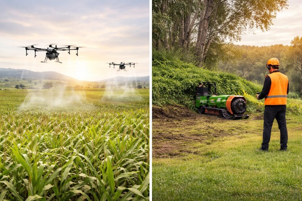
Land Management:
Vegetation and aquatic growth assessment, land oversight, forestry mulching and clearing support, and property-wide evaluation.
02
Agriculture:
Crop and field monitoring, orchard and nursery assessment, plant health observation, and seasonal comparison reporting.
03
Construction:
Stockpile volume calculations, 3D site modeling, time-lapse documentation, and aerial safety inspections.
04
Search & Recovery:
Thermal imaging and LiDAR-supported aerial searches for lost or injured persons, missing animals, and recovery operations.
Who We Serve.
Atlas Horizon Group works with clients who require dependable aerial insight delivered professionally and responsibly. Our services are designed to integrate into existing workflows and support real-world operational decisions.
– Municipalities and Public Agencies –
– Contractors and Developers –
– Farmers, Orchards, and Nurseries –
– Land managers and Large Property Owners. –
– Commercial and Industrial Clients